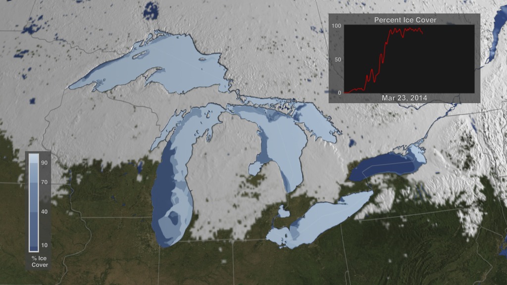
Snow Cover
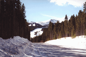 Photograph by D. K. Hall. Snow in Colorado - February 2000.
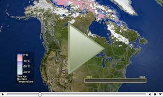
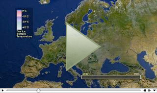
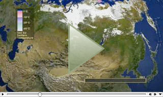
The highly-reflective nature of snow combined with its large surface coverage (snow can cover more than 40% of the Earth's land surface during the Northern Hemisphere winter), make snow an important component of the Earth's radiation balance. Snow on the ground influences biological, chemical, and geological process. Many areas of the world rely on the snowmelt for irrigation and drinking water. It is necessary to monitor snowpacks closely throughout the winter and spring for assessment of water supply and flooding potential.
Snow is precipitation that forms from water vapor in the atmosphere where temperatures are below 0°C. Snow may fall in the form of single crystals, or as an amalgamation of several crystals. Snow may melt on its descent and turn into rain, or it may be deposited on the ground as snow cover. Successive snowfall may build up and form a snowpack.
After snow is deposited, the particle shapes are modified by metamorphism. Dendritic ice crystals decompose into fragments; the larger fragments grow at the expense of the smaller ones. Over time, the particles become more rounded. If there is a temperature gradient in the snowpack, larger snow grains may form near the bottom of the snowpack especially if the snow remains on the ground for very long. Large grains at the base of a snowpack are called depth hoar.
Albedo is the ratio of the reflected to the incoming solar radiation. The albedo of snow can be 80% or more for a freshly-fallen snow cover and may drop below 40% if the snow surface becomes weathered or dirty.
Remote Sensing of Snow Cover
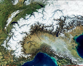 Snow in Alps - March 5, 2000.
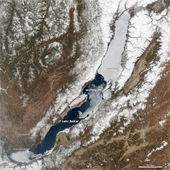
Satellites are well suited to the measurement of snow cover because the high albedo of snow presents a good contrast with most other natural surfaces except clouds. Because of this characteristic, snow was observed in the first image obtained from the TIROS-1 (Television and Infrared Observation Satellite) following its April 1960 launch (Singer and Popham, 1963). In the mid-1960s, snow was successfully mapped from space on a weekly basis following the launch of the Environmental Science Service Administration (ESSA-3) satellite which carried the Advanced Vidicon Camera System (AVCS) that operated in the spectral range of 0.5 - 0.75 µm with a spatial resolution at nadir of 3.7 km. The National Oceanic and Atmospheric Administration (NOAA) has measured snow cover on a weekly basis in the Northern Hemisphere since 1966 using a variety of sensors, including the Scanning Radiometer (SR), Very High Resolution Radiometer (VHRR) and the Advanced Very High Resolution Radiometer (AVHRR) (Matson et al., 1986). The current NOAA product is a daily snow-cover product (Ramsay, 1998). Since 2000, MODIS has produced daily snow-cover maps (Hall et al., 2002; Riggs et al., 2006; Hall and Riggs, 2007; Riggs et al., submitted).
References
Matson, M., C.F. Roeplewski, and M.S. Varnadore, 1986: An Atlas of Satellite-Derived Northern Hemisphere Snow Cover Frequency, National Weather Service, Washington D.C., 75 p.
Ramsay, B.H., 1998, The interactive multi-sensor snow and ice mapping system, Hydrological Processes, 12:1537-1546.
Hall, D.K. and G.A. Riggs, 2007: Accuracy assessment of the MODIS snow-cover products, Hydrological Processes, 21(12):1534-1547, DOI: 10.1002/hyp.6715.
Hall, D.K., G.A. Riggs, V.V. Salomonson, N.E. DiGirolamo and K.A. Bayr, 2002: MODIS snow-cover products, Remote Sensing of Environment, 83:181-194.
Riggs, G., D.K. Hall and S.A. Ackerman, 1999: Sea ice extent and classification with the Moderate Resolution Imaging Spectroradiometer Airborne Simulator (MAS), Remote Sensing of Environment, 68(2):152-163.
Riggs, G.A., D.K. Hall and M.O. Román, submitted: MODIS and NASA VIIRS snow-cover mapping algorithms, submitted for journal publications.
Robinson, D.A. and G. Kukla, 1985: Maximum surface albedo of seasonally snow covered lands in the Northern Hemisphere, Journal of Climate and Applied Meteorology, 24:402-411.
Robinson, D.A., K.F. Dewey and R.R. Heim, Jr., 1993: Global snow cover monitoring: an update, Bulletin of the American Meteorological Society, 74:1689-1696.
Singer, F.S. and R.W. Popham, 1963: Non-meteorological observations from satellites, Astronautics and Aerospace Engineering, 1(3):89-92.

