
More Information
view allVideos
Videos

The Winter of 2013 – 2014: A Cold, Snowy and Icy Winter in North America
This animation shows the snow cover over North America during the 2013-2014 winter as well as the ice concentration over the Great Lakes. The date and a graph showing the percent of ice cover over the Great Lakes and Lake Superior is shown on this version. file size is 5.2 MB
Snow Cover & Sea Ice Animation
This animation shows the advance and retreat of daily snow cover along with daily sea ice surface temperature globally from September 2002 through May 2003. file size is 31MB
Surface Temperature of the Greenland Ice Sheet During the Summer of 2005
This animation shows daily surface temperature of the Greenland ice sheet from May 1 through September 1, 2005. An overlay contains a date bar, a color bar and text labels. file size is 14MB
Daily Snow and Sea Ice Temperature over the North Pole
This animation shows the daily advance and retreat of snow cover, and sea ice surface temperature over the North Pole during the winter of 2002-2003. file size is 31MB
Daily Snow and Sea Ice Temperature over North America
This animation shows the daily advance and retreat of snow cover, and sea ice surface temperature over North America during the winter of 2002-2003. file size is 15MB
Daily Snow and Sea Ice Temperature over Europe
This animation shows the daily advance and retreat of snow cover, and sea ice surface temperature over Europe during the winter of 2002-2003. file size is 31MB
Daily Snow and Sea Ice Temperature over Asia
This animation shows the daily advance and retreat of snow cover, and sea ice surface temperature over Asia during the winter of 2002-2003. file size is 7MB


MOD29 / MYD29 sea ice products
These products are generated using the MODIS sensor radiance data product (MOD021KM and MYD021KM), the geolocation product (MOD03 and MYD03), and the cloud mask product (MOD35_L2 and MYD35_L2). The output file contains sea ice extent scientific data sets (SDS), ice surface temperature SDS, quality assurance (QA) SDSs, latitude and longitude SDSs, local attributes, and global attributes. The sea ice extent algorithm identifies sea ice-covered oceans by reflectance characteristics; it also estimates ice surface temperature for complete global coverage; a MOD29 sea ice product would be generated for all swaths acquired during a day. The Terra sea ice surface temperature data product is validated (stage 2) for the cold season. Aqua sea ice data products are validated (stage 1) See the validation webpage for further details and validation definitions.
Example Images and Data
Click on the thumbnail image to open a larger view of the images and sea ice maps. To download the corresponding data for the sea ice maps, click on the HDF data file listed directly below the
May 5, 2001
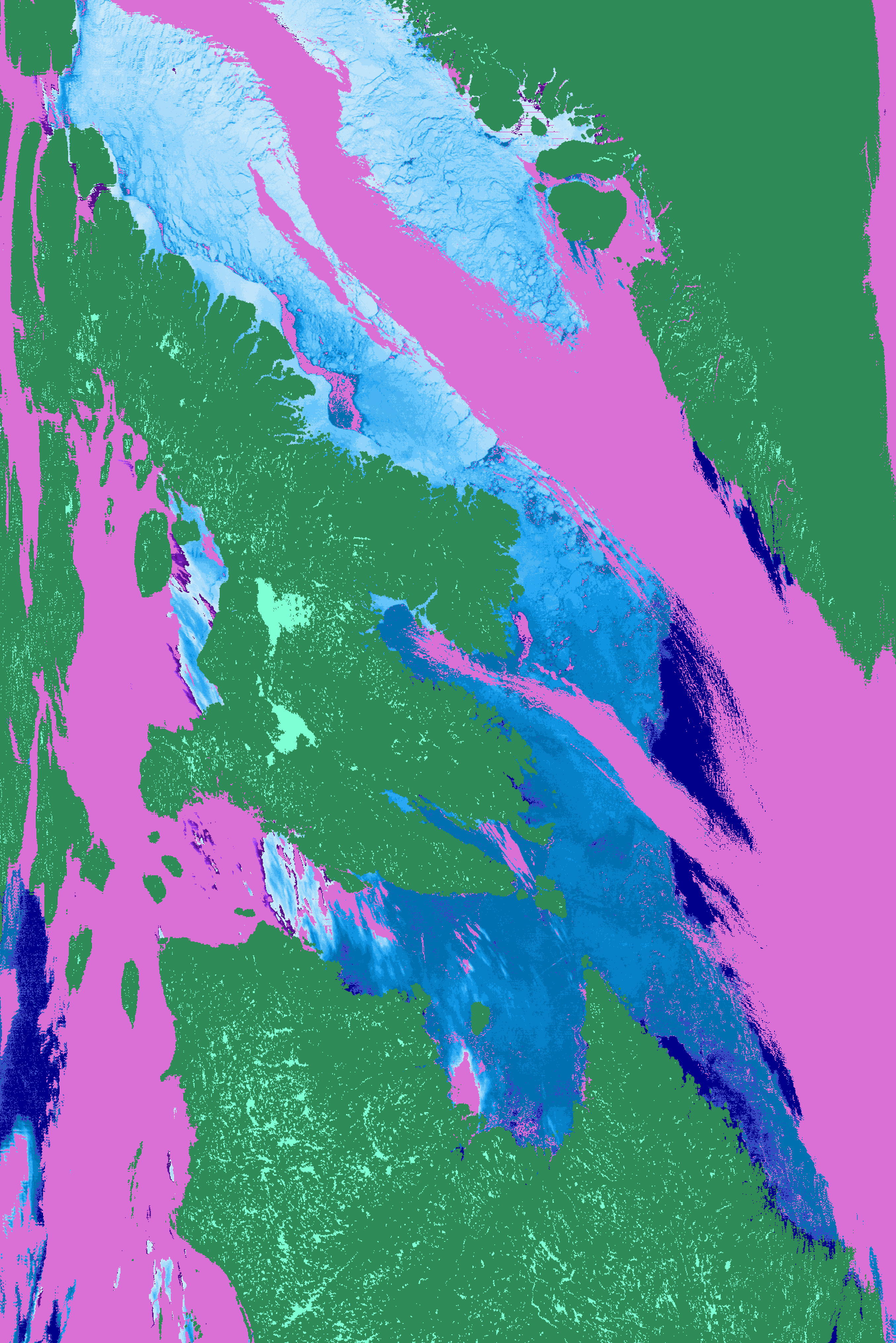 Canada, Baffin Island Canada, Baffin IslandMOD29...hdf.gz |
 MOD02HKM companion MOD02HKM companion reflectance image |
March 17, 2002
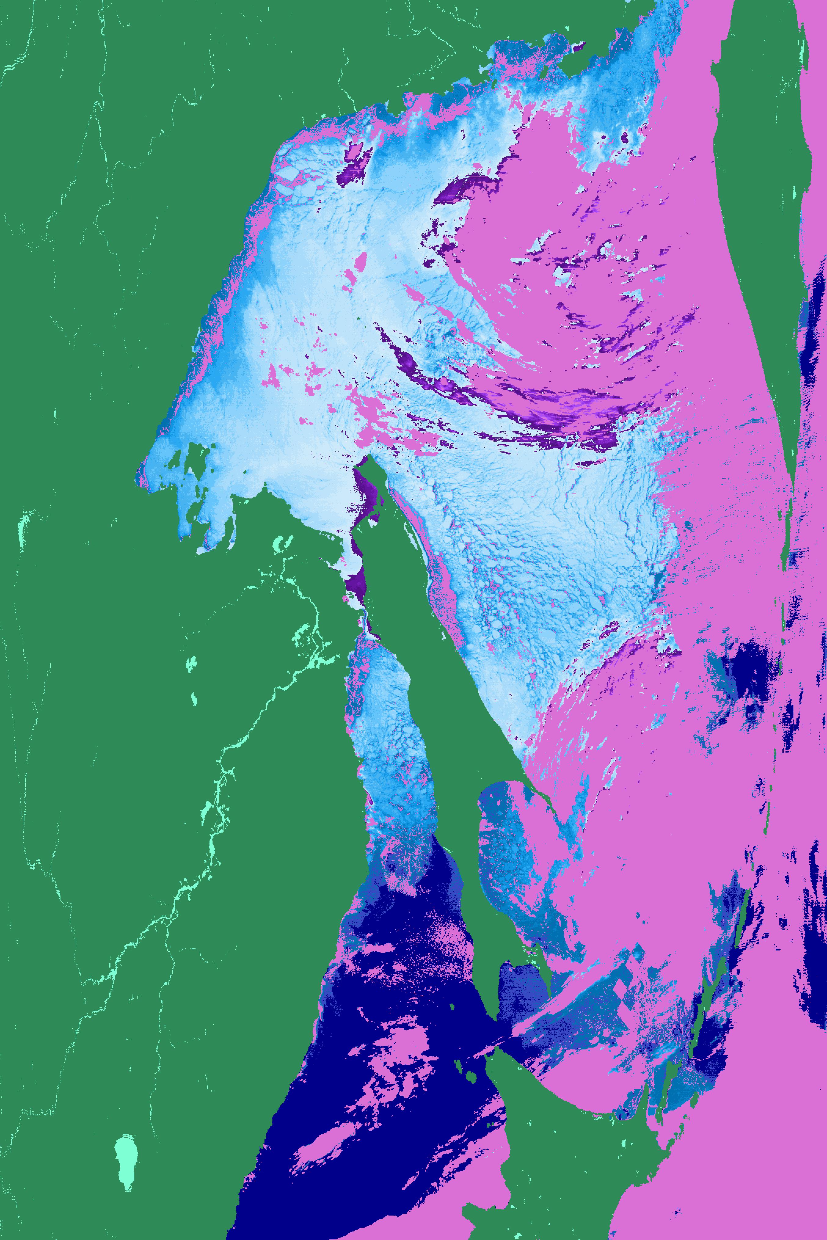 Russia, Sea of Okhotsk Russia, Sea of OkhotskMOD29...hdf.gz |
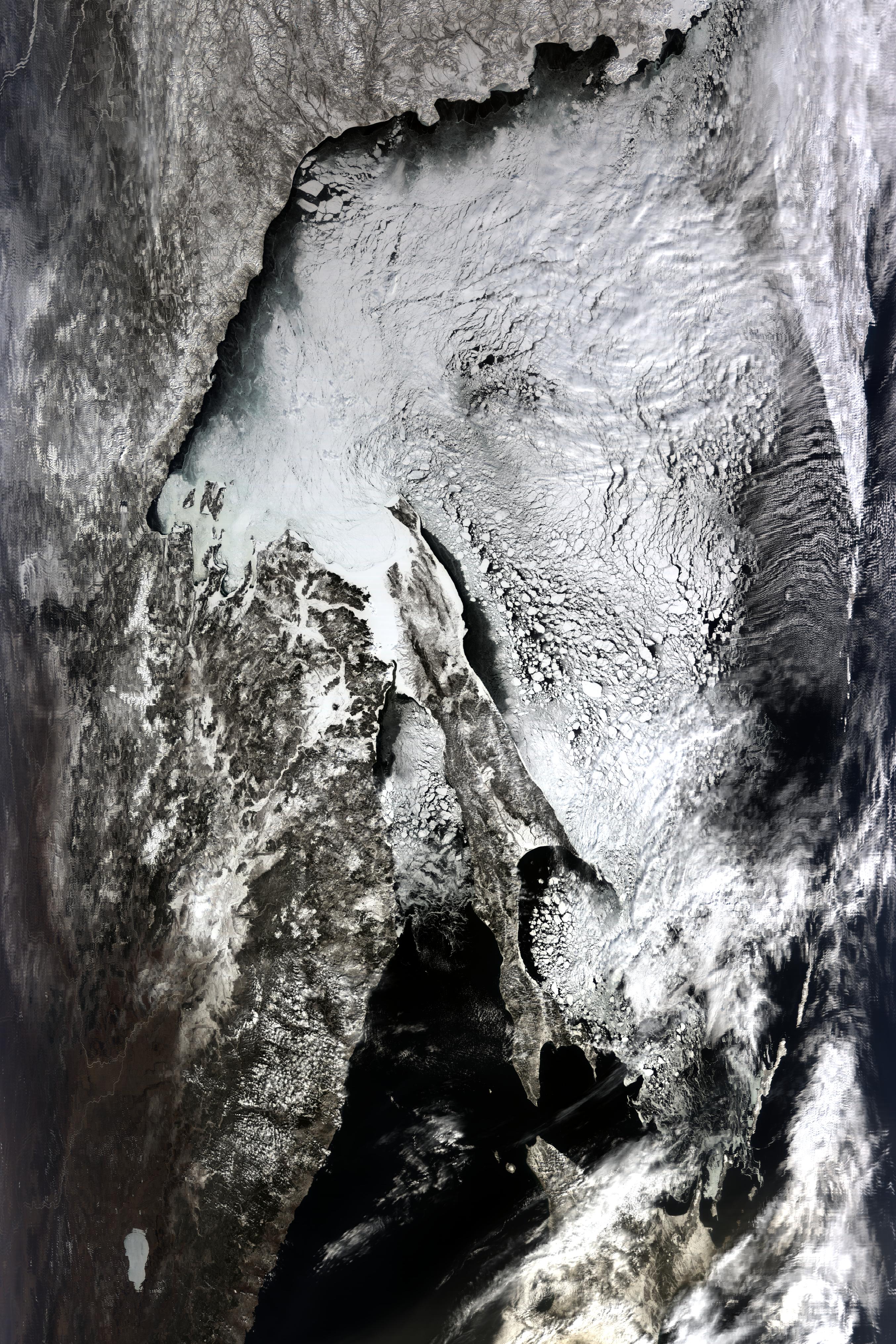 MOD02HKM companion MOD02HKM companion reflectance image |
Image Color Legend:
sea ice
land
cloud
water
polar night
For a full description of the MOD29 and MYD29 products, see the Sea Ice Products User Guide and / or the ATBD.
