Direct Broadcast Data
The University of Wisconsin Space Science and Engineering Center (SSEC) has developed the following site that provides Direct Readout data from MODIS: http://ge.ssec.wisc.edu/modis-today/. Also see http://ge.ssec.wisc.edu/modis-today/about.html for further information.
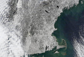 United States
01/17/03MODIS snow map of the North Eastern United States. Click on image for larger view and companion true color image.
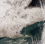 United States
01/17/03MODIS snow map of the Eastern United States. Click on image for larger view and companion true color image.
-
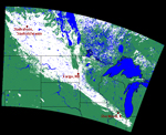 United States and Canada
01/14/03MODIS snow map of the Northern United States and Canada. Click on image for larger view and companion true color image.
-
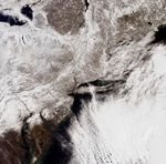 United States
01/07/03MODIS snow map of the Eastern United States. Click on image for larger view and companion true color image.
-
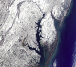 United States
12/07/02MODIS snow map of the Eastern United States. Click on image for larger view and companion true color image.
-
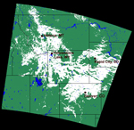 United States
11/03/02MODIS snow map of the mid United States. Click on image for larger view and companion true color image.
-
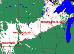 United States
03/16/02MODIS snow map of the mid United States. Click on image for larger view and companion false color image.
-
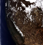
Western United States
02/25/02MODIS bands 1, 4, 3 RGB true color reflectance composite of the Western United States. Click on image for larger view.
-
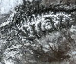 Western United States
02/04/02MODIS bands 1, 4, 3 RGB true color reflectance composite of the Western United States. Click on image for larger view.
-
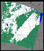
Mid United States
02/01/02MODIS snow map of United States. Click on image for larger view.
-
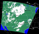
Mid United States
11/26/01 - 11/28/01MODIS snow map of United States. Click on image for larger view.

