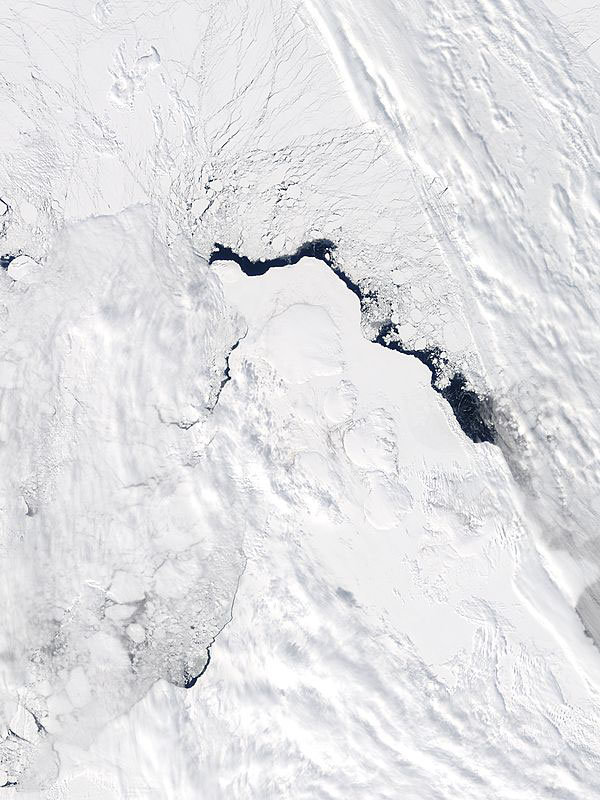
MODIS true color image (bands 1, 4, 3) of Severnaya Zemlya (North Land), Russia, 20 May 2005.
Spidery black cracks radiate through the sea ice from the northern tip of Severnaya Zemlya (North Land), Russia. Though the smooth white field of snow and ice that covers Severnaya Zemlya makes it appear to be a single landmass, it is actually made up of four large islands and a number of smaller islands. The island group divides the Kara Sea in the west from the Laptev Sea in the east. To the north is the ice-covered Arctic Ocean.
Terra MODIS captured this image on May 20, 2005, as the first hints of approaching summer began to appear and the sea ice begins to melt. The water along the outer coast of the islands is dark, free of ice. Beyond the edge of the land, the ice has broken into free-floating chunks that resemble slush on the surface of a pond. Further north, the ice is breaking in long shards, like the fragments that radiate from the edge of a broken glass. The right and left edges of the image are veiled by a layer of light clouds.
Text and image courtesy of NASA's MODIS Land Rapid Response Team.