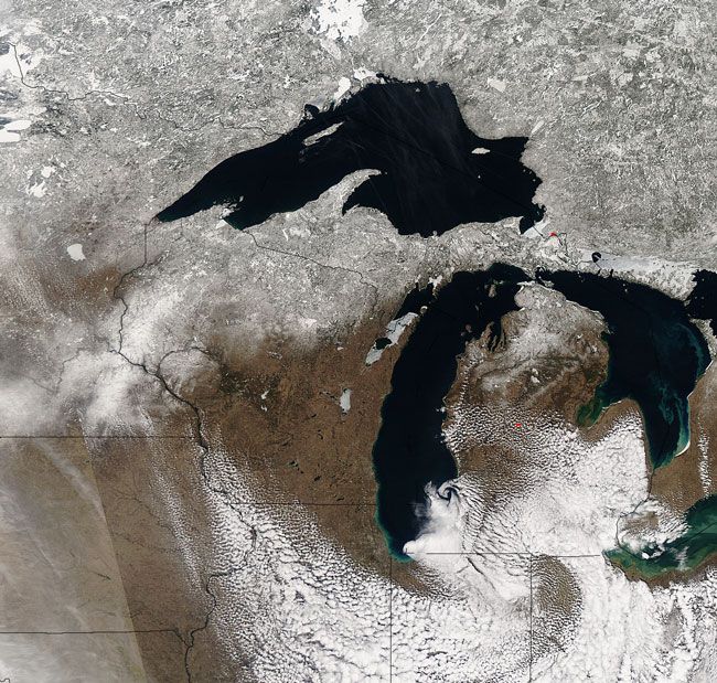
MODIS true color image (bands 1, 4, 3) of the Great Lakes region on the 26th of March 2006.
Snow and ice covered the Great Lakes region when this image was acquired on March 26, 2006. Snow and ice, both on the land and in the oceans (as well as fresh-water lakes and rivers), comprise the global cryosphere, from the Greek word 'kruos' or frost. Other components of the cryosphere include ice sheets, caps, and shelves, and frozen ground - like permafrost. The cryosphere is an important component of the biosphere and may serve as an indicator of climate. Scientists use images such as this one to monitor changes in the amount of land and water locked up in ice and snow; a dramatic shrinkage (outside of normal seasonal changes) in the size of a snow or icepack might indicate that global warming is occurring. Snow and ice reflect a great deal of sunlight - between 60 and 90% of incident solar radiation or sunlight reaching the surface - is reflected back into the atmosphere. Therefore, reductions in snow and ice could have a positive feedback effect, contributing to global warming, which would lead to further reductions in snow and ice, and so forth.
Text and image courtesy of NASA's MODIS Land Rapid Response Team.