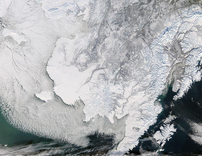
This image of Alaska and the Bering Strait was captured by the MODIS on the Aqua satellite on February 5, 2008. This wintery scene shows the ground covered with snow, and the water full of ice - a contrast to this image of the region in summer.
The Bering Strait is the narrow passage between Russia (left) and the US state of Alaska (right). Just south of the straight is St. Lawrence Island. St. Lawrence Island might be one of the last surviving and above-water pieces of the famous Bering land bridge. East of St. Lawrence Island is the Norton Sound. South of the Sound is the Yukon-Kuskokwim Delta, which is where the Yukon and Kuskokwim Rivers empty into the Bering Sea.
Text and image courtesy of NASA's MODIS Land Rapid Response Team.