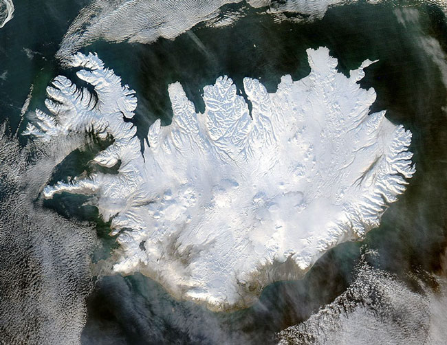
MODIS true color image of Iceland on the 28th of January 2004.
True to its name, Iceland is shown here covered in a white blanket of ice and snow, floating just south of the edge of the Arctic Circle. Low layers of clouds float over the Greenland Sea and Atlantic Ocean, while a wispy veil of what appears to be dust hovers in the bottom portion of the image. Iceland's southern, low-lying coastlines are greyish-tan, while the rest of the island remains pristine white. The uniform color hides Iceland's four ice caps - Langjokull and Hofsjokull in the interior west, Myrdalsjokull on the southern coast, and Vatnajokull on the eastern coast. In contrast, click to view an image of Iceland taken in the late summer of 2002, which shows all four icecaps clearly.
Vatnajokull is the largest of the four, and rests on top of three active volcanoes. The heat from these volcanoes causes the underside of the ice cap to melt, slowly building up meltwater in what is called a caldera. Eventually the caldera spills over and releases a torrent of water known as a glacial melt flood.
This true-color Aqua MODIS image was acquired on January 28, 2004.
Image and text courtesy of NASA's MODIS Land Rapid Response Team.